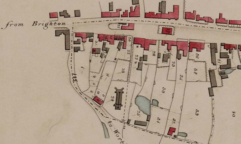
Our collection includes county, parish, town, estate and Ordnance Survey maps, and covers the whole county. There are tithe maps and apportionments for most of the parishes in West Sussex, usually dating from the late 1830s and 1840s, and these are available in digital form.
The record office also has a large collection of original estate maps dating from 1597 onwards, including maps for the Goodwood, Cowdray, Sergison and Wiston estates, as well as many other estates and farms in the county.
The enclosures of the 18th and 19th centuries only affected a minority of parishes in West Sussex, but for those which were affected we have a good series of enclosure maps. In addition, the Record Office has an extensive collection of deposited plans relating to schemes for roads, canals, railways, gasworks, harbour improvements and other public undertakings.
Other available maps include land drainage maps and late 20th century Goad maps of town centres.
There is also a large collection of maps held at West Sussex libraries.
Tithe maps on CD
The tithe maps were digitised in 2007 by Icam Archive Systems as part of a project funded by the Heritage Lottery Fund, West Sussex Archives Society and The Golden Trust.
The information contained in the apportionments, which recorded the owners and occupiers of land, were transcribed by nearly 100 volunteers who took part in the project.
You can view all the map images, and the apportionment data, on a computer in the Record Office searchroom and also at Worthing Library. Some of the other libraries have copies of the tithe maps for their local area.
You can also purchase the tithe maps on CD.
Find out more
‘Mini-Guide to Sources No 16: Maps of West Sussex’ by Caroline Adams, Martin Hayes, Timothy J McCann, Susan Millard and Morwenna Peters (WSCC 2005) is available in the Record Office library.